Google AI model mines trillions of images to create maps of Earth ‘at any place and time’
Search author on: PubMed Google Scholar
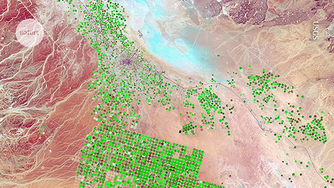
The AI system AlphaEarth Foundations integrates satellite images, such as this one of irrigated cropland, with other types of map to offer a data-rich picture of Earth. Credit: USGS
The technology giant Google has released an artificial intelligence (AI) model that acts as a ‘virtual satellite’ to weave together trillions of disparate observations — satellite images, radar and more — to track changes in land and shallow waters across Earth. Researchers are lauding the sheer scale of the effort while also calling on Google for more information about its tests, and warning that it will be up to individual scientists to verify any maps they obtain from the tool.
The model, called AlphaEarth Foundations, maps the world “at any place and time”, Christopher Brown, a research engineer at Google DeepMind in New York City, said at a press briefing on 28 July. Scientists might use it to identify the best places for clean-energy projects, study the ecological impacts of climate change, track deforestation and more.


