AI Turns Drone Footage Into Disaster Response Maps In Minutes
A system developed at Texas A&M uses drone imagery and artificial intelligence to rapidly assess damage after hurricanes and floods, offering life-saving insights in minutes.
A tool developed at Texas A&M University is set to transform how emergency responders assess damage after disasters. The technology, known as CLARKE (Computer vision and Learning for Analysis of Roads and Key Edifices) uses artificial intelligence and drone imagery to evaluate damage to buildings, roads and other infrastructure in a matter of minutes.
CLARKE was created by a team of researchers led by Tom Manzini, a Ph.D. candidate in computer science and engineering, and Dr. Robin Murphy, a pioneer in the field of rescue robotics.
“This is the first AI system that can classify building and road damage from drone imagery at this scale and speed,” Murphy said. “We’re talking about assessing a neighborhood of 2,000 homes in just seven minutes. That kind of speed can save lives and resources.”
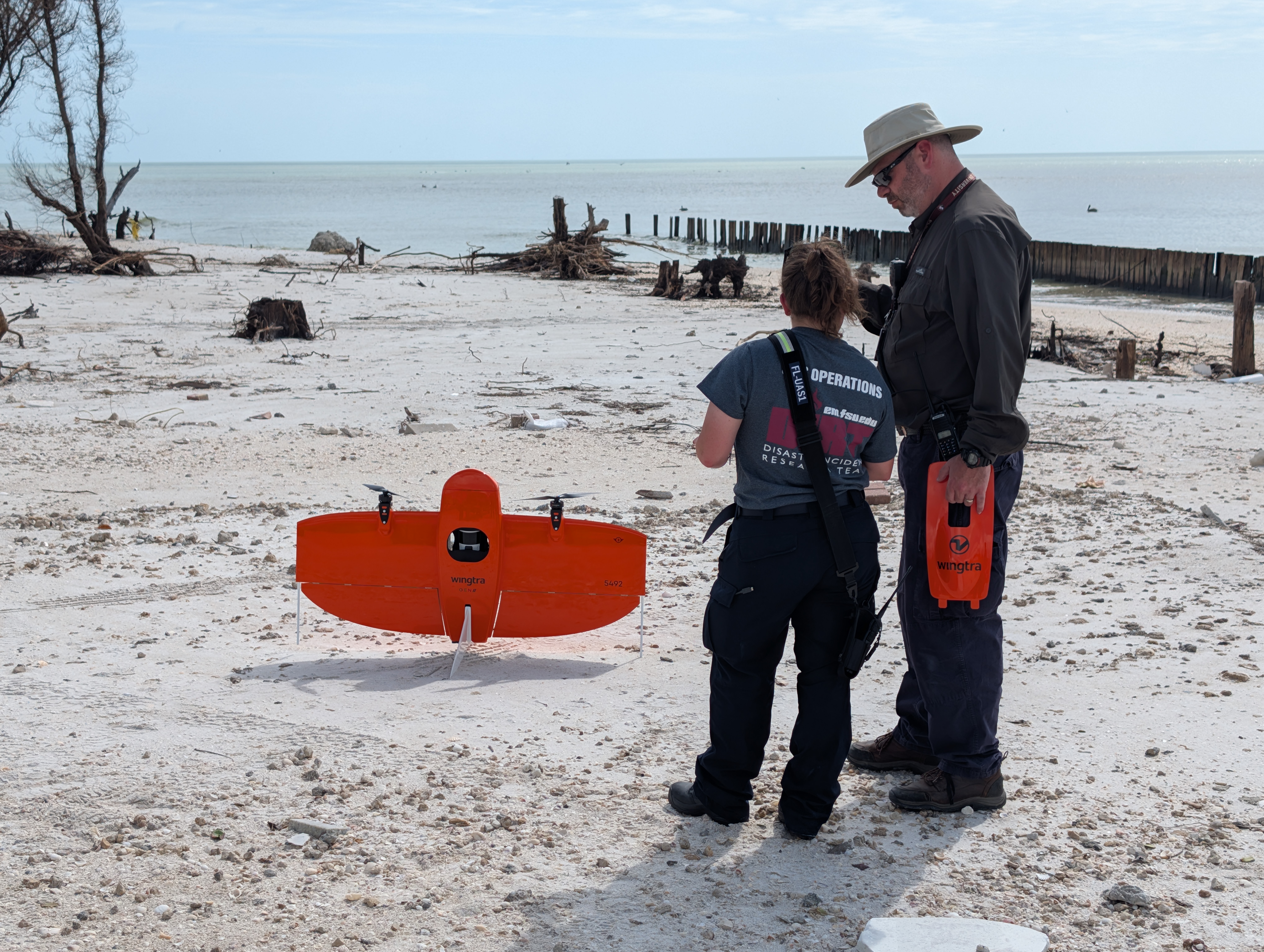
The system has already proven its value during the 2024 hurricane season, when it was deployed in Florida and Pennsylvania following Hurricanes Debby and Helene.


