Hurricane Milton explodes into a powerful Category 5 storm as it heads for Florida − here’s how rapid intensification works
Zachary Handlos receives funding from the National Science Foundation. He is affiliated with the American Meteorological Society as the incoming chair of their Board on Higher Education. He is also an academic faculty partner of the Georgia Climate Project.
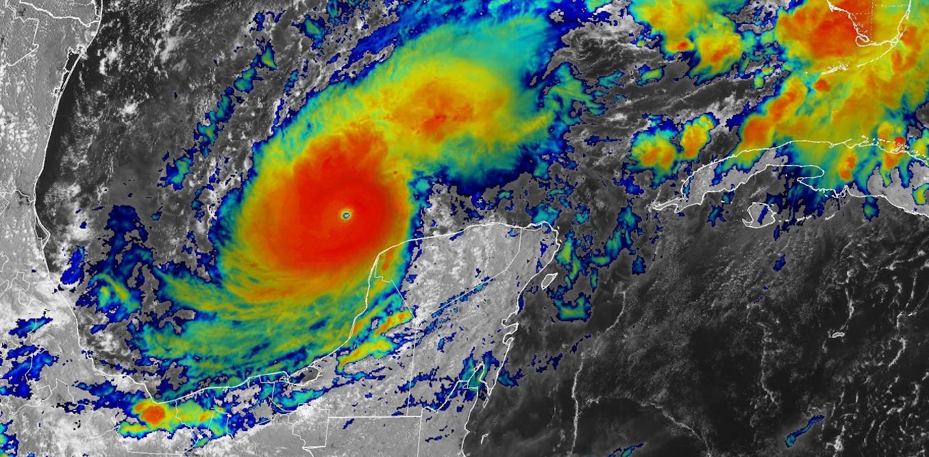
Hurricane Milton went from barely hurricane strength to a dangerous Category 5 storm in less than 24 hours as it headed across the Gulf of Mexico toward Florida.
As its wind speed increased, Milton became one of the most rapidly intensifying storms on record. And with 180 mph sustained winds on Oct. 7, 2024, and very low pressure, it also became one of the strongest storms of the year.
Less than two weeks after Hurricane Helene’s devastating impact, this kind of storm was the last thing Florida wanted to see. Hurricane Milton was expected to make landfall as a major hurricane late on Oct. 9 or early Oct. 10 and had already prompted widespread evacuations.
So, what exactly is rapid intensification, and what does global climate change have to do with it? We research hurricane behavior and teach meteorology. Here’s what you need to know.


