'Eyes of a machine': How to classify Planet Earth
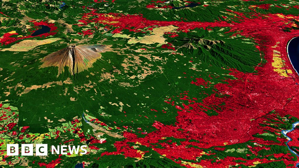
Researchers will take aerial photos or satellite images and categorise the scene below. Where are the grasslands and forests; the roads and buildings; what is water and what is snow or ice?
Such maps tell us where the resources are and help us to manage them. They aid urban planning, assess crop yields, analyse flood risks, and track impacts on biodiversity - the list is endless.
The challenge is corralling the flood of new data that threatens to make any land cover map out of date the moment it's produced.
Take for example, this week's Living Atlas release from US company Esri, the leading producer of geographic information system (GIS) software.
Esri has produced a global land cover map for 2020 made from the pictures acquired by the European Union's Sentinel-2 satellite constellation.
This is a pair of spacecraft in orbit that continuously photograph Earth's surface at a resolution of 10m (the size of each pixel in an image). Terabytes of data are coming down every day.
