NOAA Logo Sea Level Rise Viewer
View areas susceptible to high tide flooding, or "nuisance flooding," and the number of historical flood events that have occurred.
The data and maps in this tool illustrate the scale of potential flooding, not the exact location, and do not account for erosion, subsidence, or future construction. Water levels are relative to Mean Higher High Water (MHHW) (excludes wind driven tides). The data, maps, and information provided should be used only as a screening-level tool for management decisions. As with all remotely sensed data, all features should be verified with a site visit. The data and maps in this tool are provided “as is,” without warranty to their performance, merchantable state, or fitness for any particular purpose. The entire risk associated with the results and performance of these data is assumed by the user. This tool should be used strictly as a planning reference tool and not for navigation, permitting, or other legal purposes.
Leave a Comment
Related Posts


Recent Posts


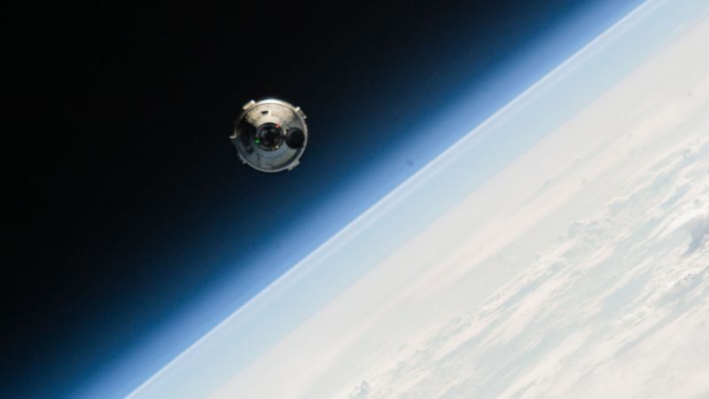
Two astronauts wait to come home as Boeing races to understand spacecraft issues. Here’s what’s at stake
Comment