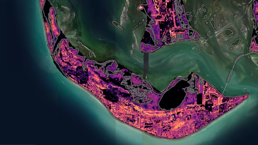
From questions to discoveries: NASAŌĆÖs new Earth Copilot brings Microsoft AI capabilities to democratize access to complex data
Nov 14, 2024 | Tyler Bryson - Corporate Vice President, US Health & Public Sector Industries
Every day, NASAŌĆÖs satellites orbit Earth, capturing a wealth of information that helps us understand our planet. From monitoring wildfires to tracking climate change, this vast trove of Earth Science data has the potential to drive scientific discoveries, inform policy decisions and support industries like agriculture, urban planning and disaster response.
But navigating the over 100 petabytes of collected data can be challenging, which is why NASA has collaborated with Microsoft to explore the use of a custom copilot using Azure OpenAI Service to develop NASAŌĆÖs Earth Copilot, which could transform how people interact with EarthŌĆÖs data.
Geospatial data is complex, and often requires some level of technical expertise to navigate it. As a result, this data tends to be accessible only to a limited number of researchers and scientists. As NASA collects more data from new satellites, these complexities only grow and may further limit the potential pool of people able to draw insights and develop applications that could benefit society.










/cdn.vox-cdn.com/uploads/chorus_asset/file/24016886/STK093_Google_03.jpg)


